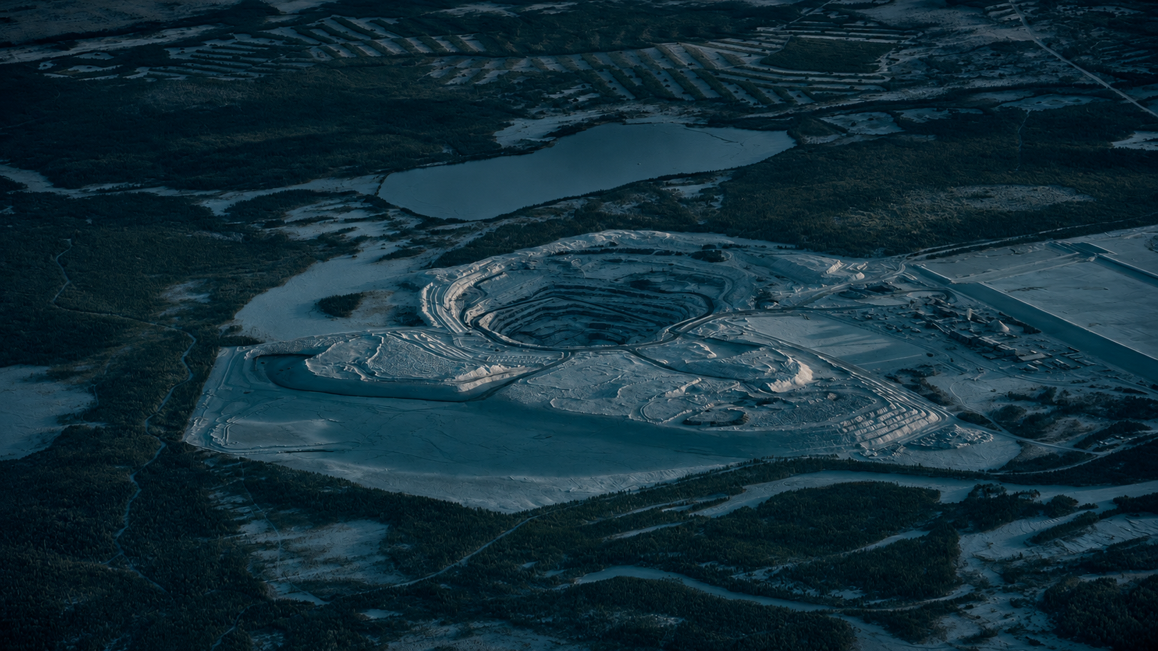
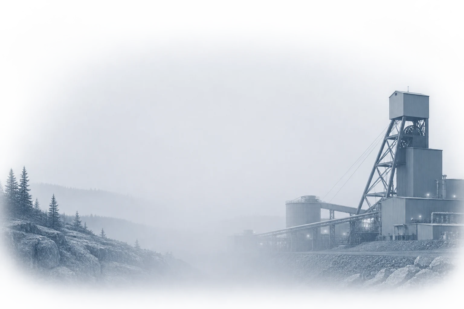
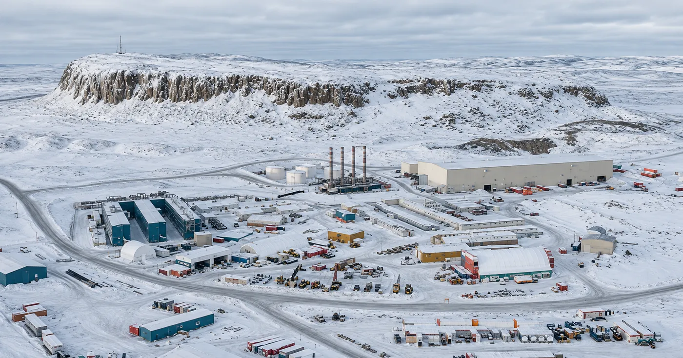
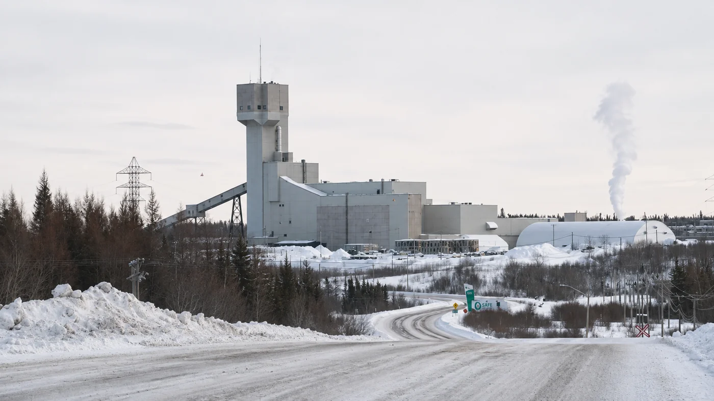
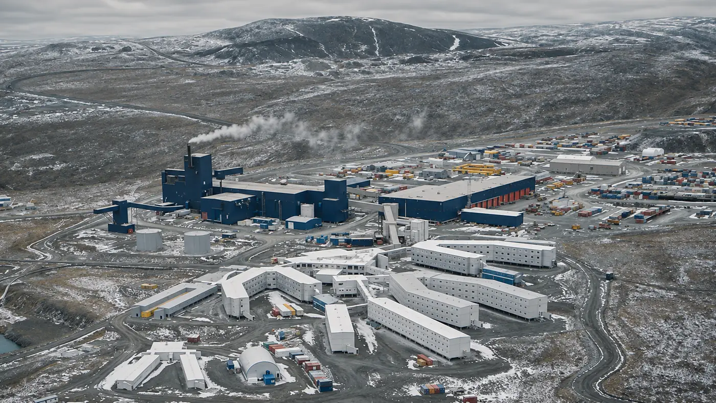
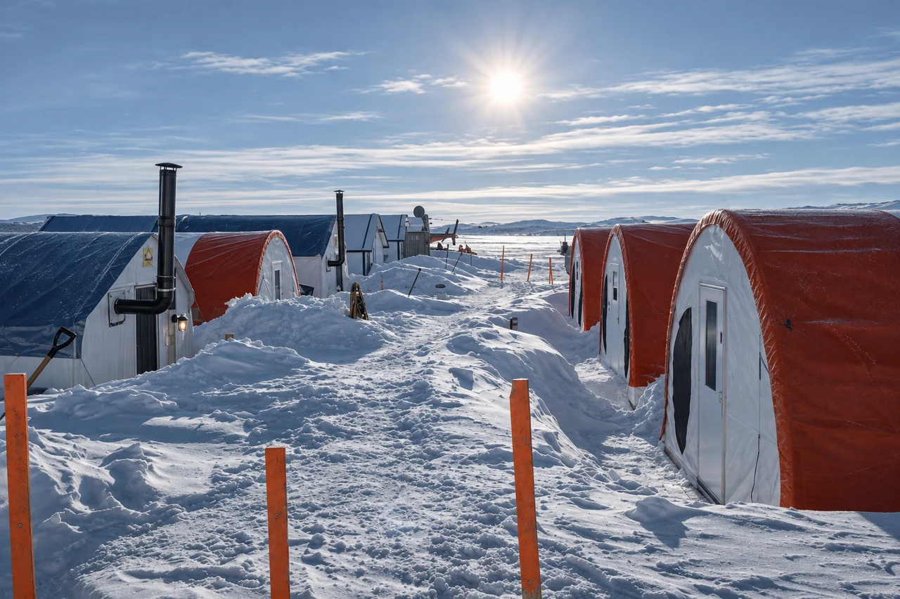
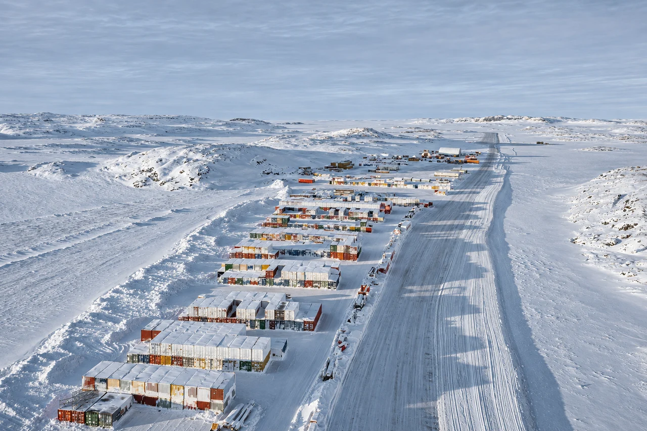
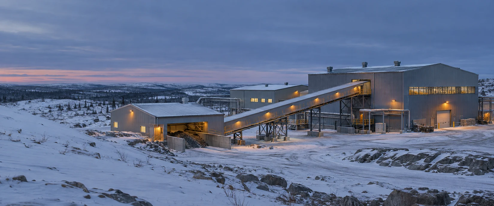
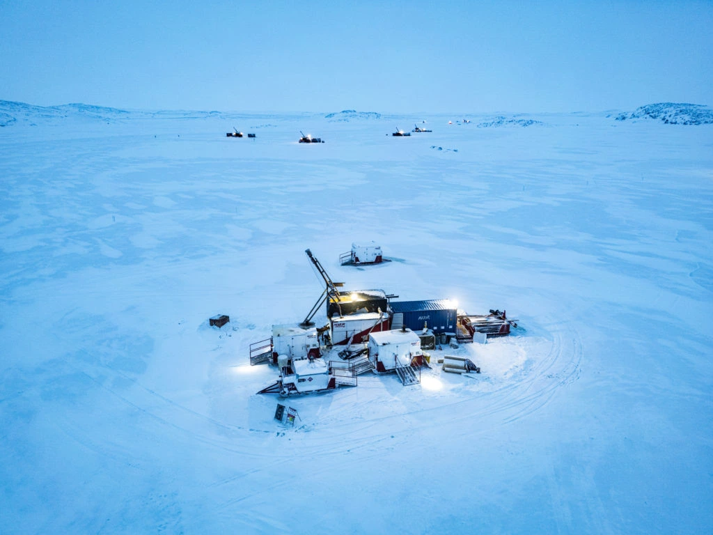
The North’s energy challenge begins with distance.
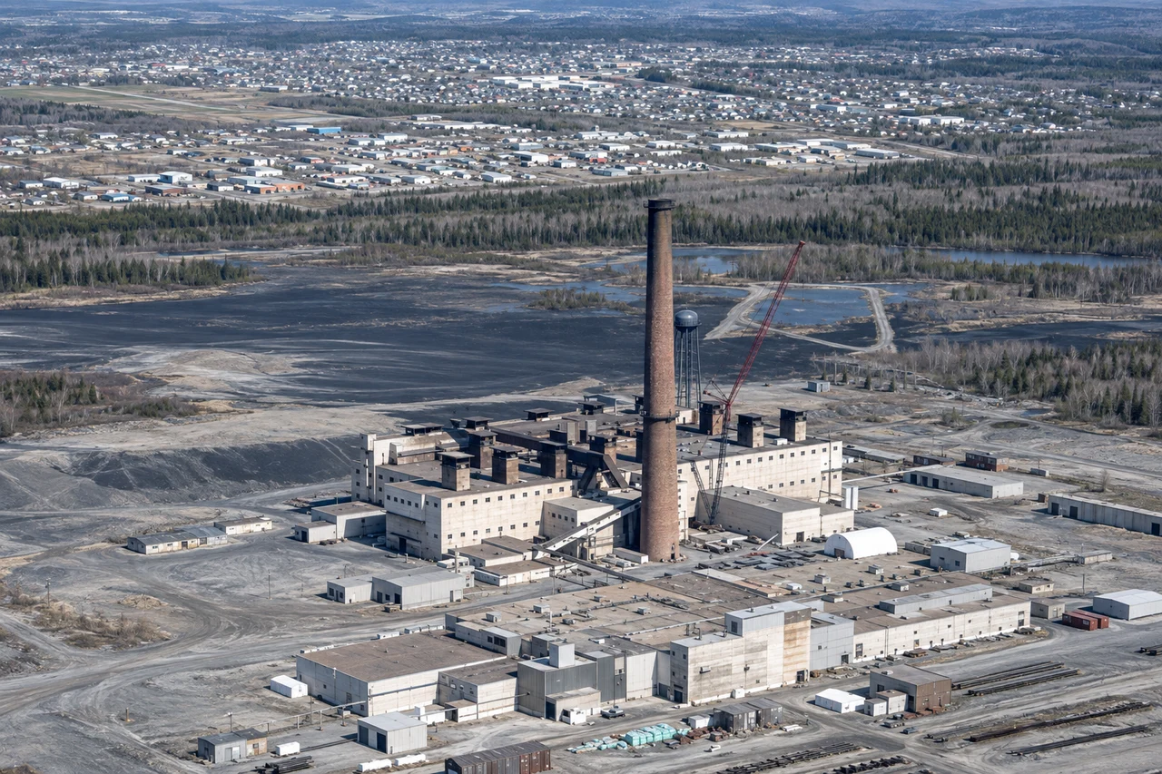
For diesel-dependent mines and communities, every fuel delivery connects reliable power to long transport routes and complex logistics. A local energy resource could change that equation.
NorthLight Power brings together geoscience, mining expertise and power-system planning to evaluate naturally occurring hydrogen where energy is needed. The pathway connects geological evidence to measured supply—and measured supply to a practical development decision.
17
Canadian mine properties
Reviewed in Denis Brière’s geological screening assessment.
3
Evaluation phases
Assessment, measurements and commercialization planning.
Local energy. Lasting value.
A development strategy shaped by the needs of mines and northern communities.
02/NORTHLIGHT POWER
Advancing natural hydrogen for mines and northern communities.
NorthLight Power is a Canadian natural hydrogen exploration and development company advancing local energy resources for mines and northern communities. Its mission is to reduce dependence on delivered diesel through geological expertise, field evaluation and power-system planning.
THE MINE-SITE EVALUATION
Geological evidence
Identify fractures worth sampling.
Hydrogen supply
Measure gas composition and flow over time.
Diesel displacement
Compare net electricity with the mine’s load.
03/THE DEVELOPMENT OPPORTUNITY
Natural hydrogen at operating mines.
Geological appraisal aligned with industrial energy demand.
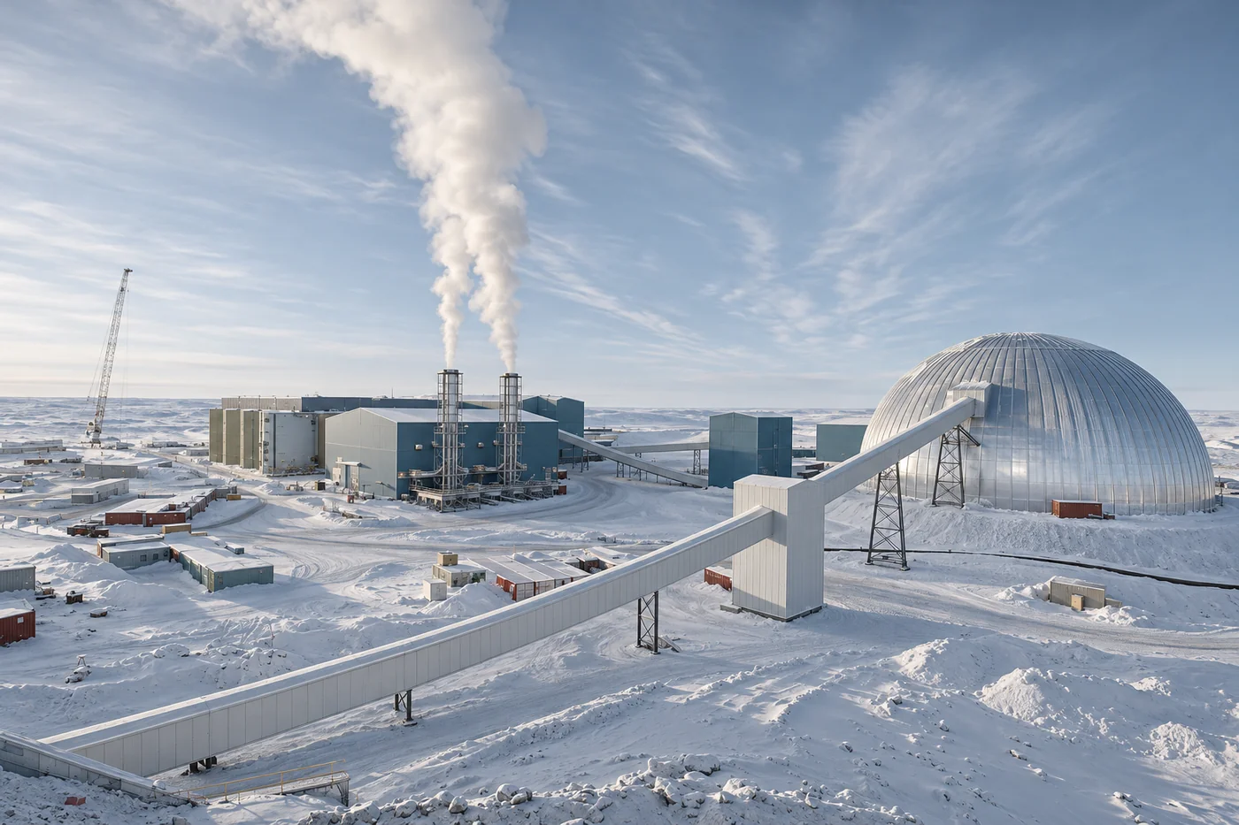
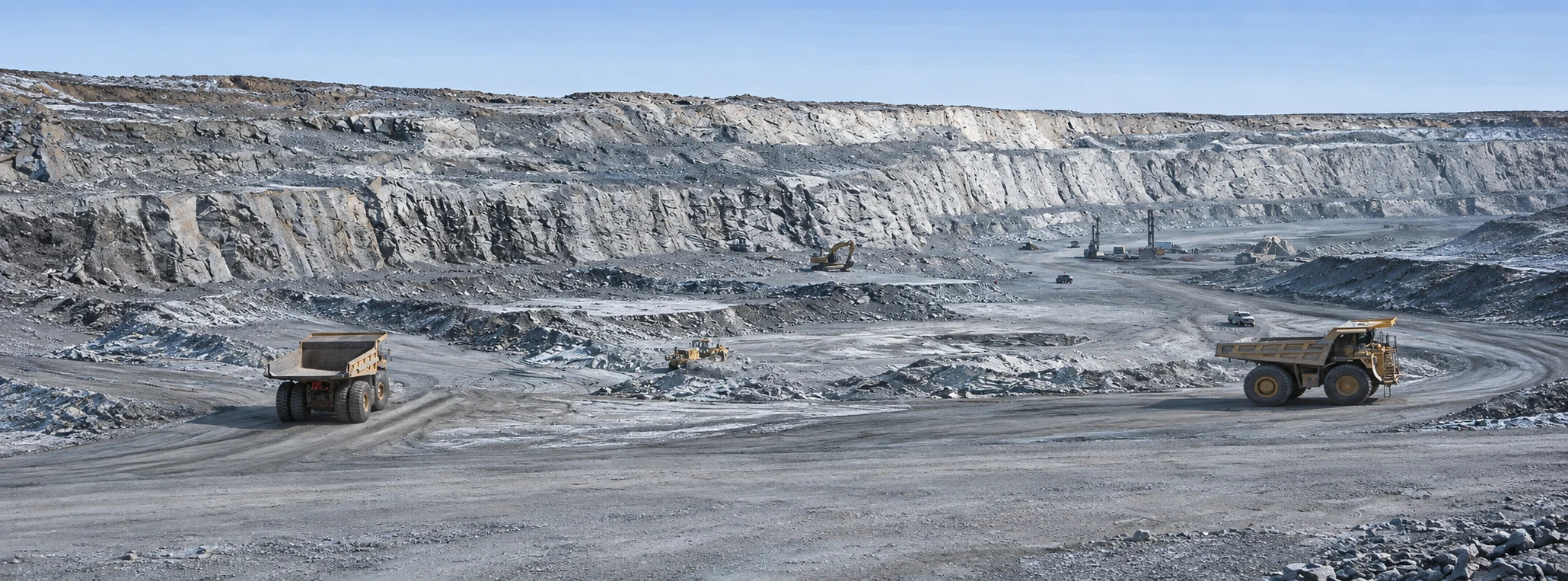
NorthLight’s proposed framework evaluates whether hydrogen at a mine site can be recovered at sustained rates and matched to a defined energy load.
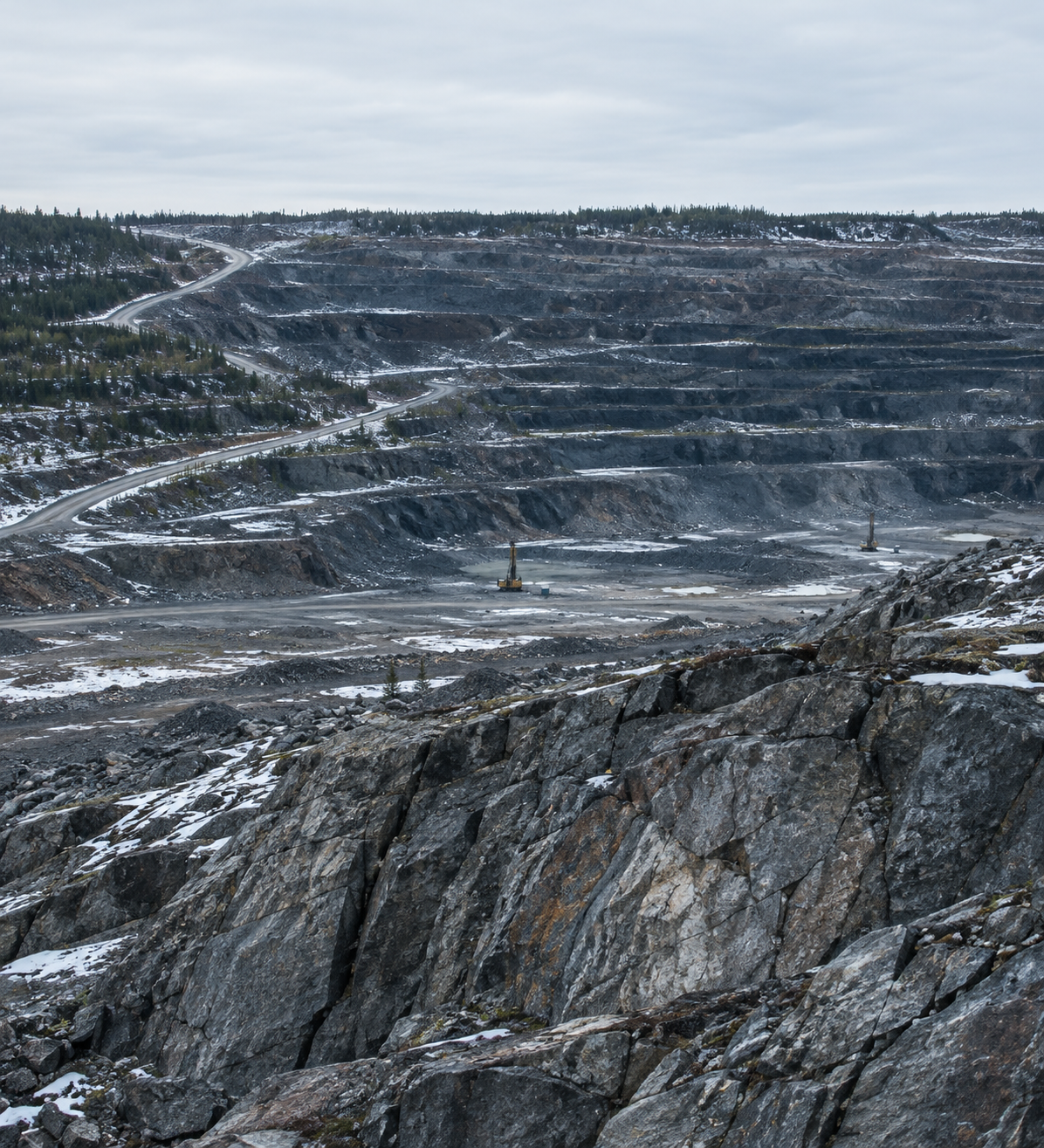
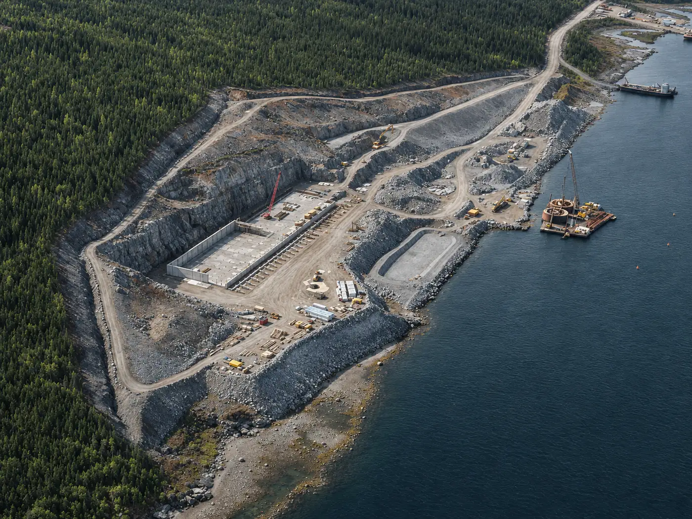
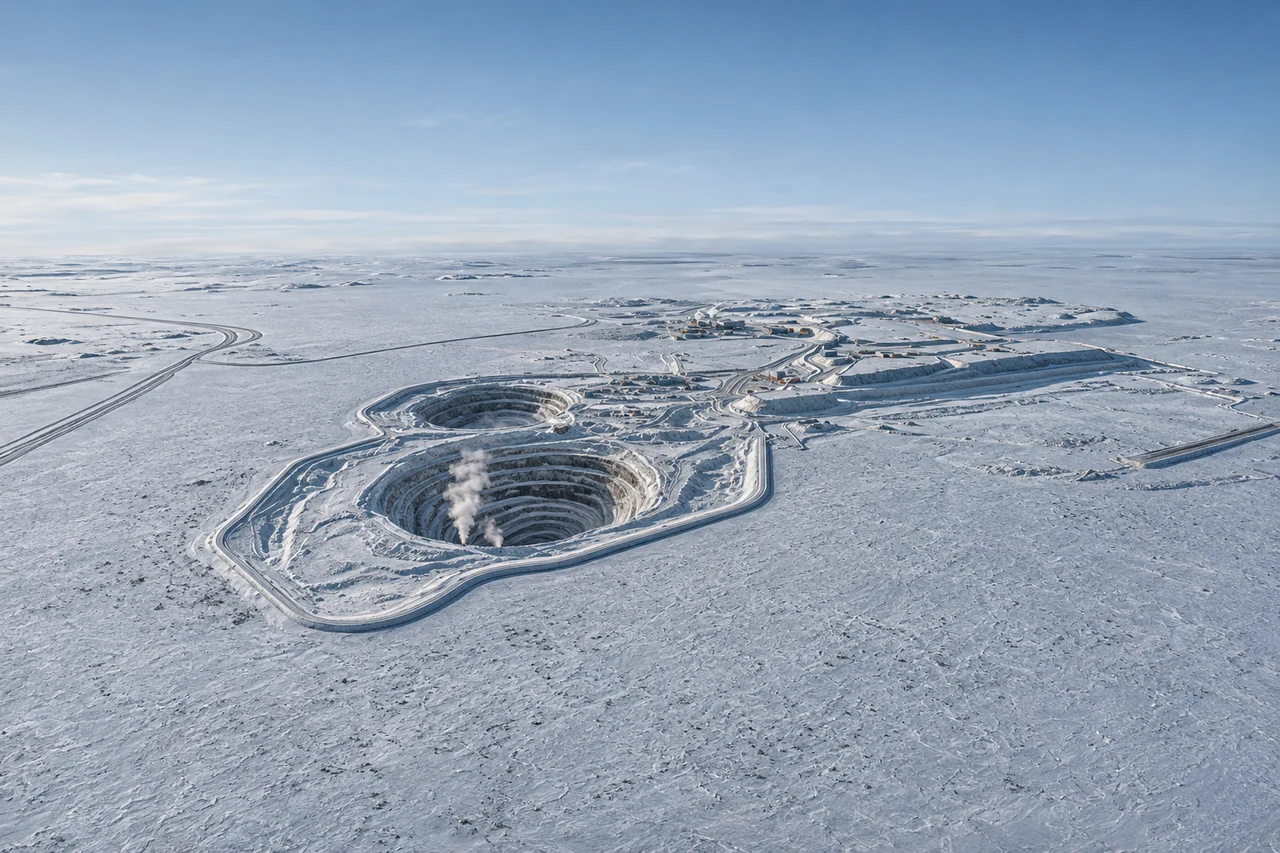
GENERATED ILLUSTRATION · OPERATING MINE CONTEXT
01
GEOLOGICAL APPRAISAL
Prioritize the field targets.
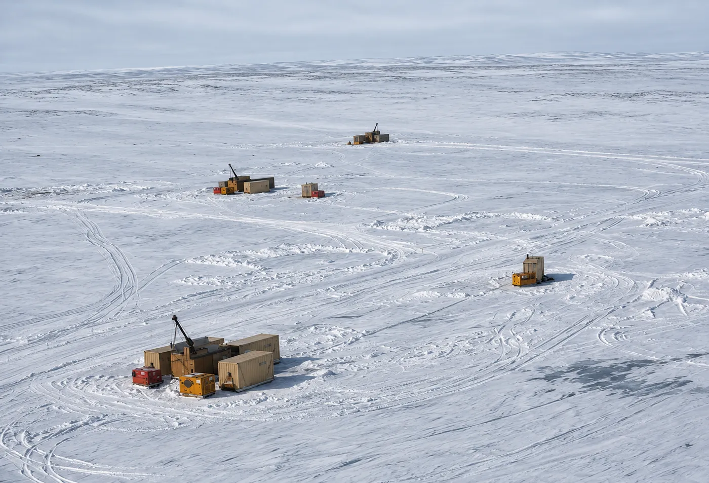
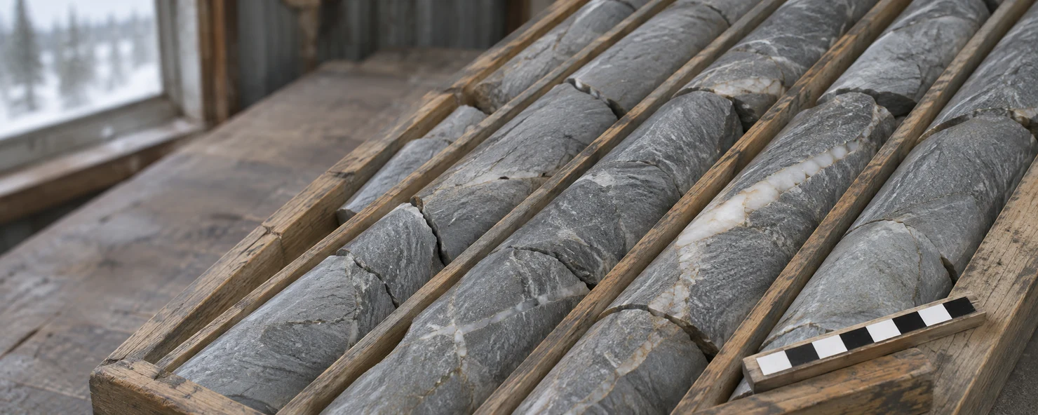
Integrate existing records, core and borehole data to focus field investigation.
02
ENERGY APPLICATION
Define the operating basis.
Establish the load profile, reliability requirements and delivered energy cost against which hydrogen supply would be assessed.
03
STAGED DEVELOPMENT
Link investment to evidence.
Use measured flow and composition to decide whether engineering and cost assessment are warranted.
04/THE GEOLOGICAL SYSTEM
Geological controls on hydrogen supply.
Assess generation, storage and movement of hydrogen-bearing fluids in fractured rock.
REACTIVE ROCKFRACTURE STORAGEPOSSIBLE FLOW PATHCONCEPTUAL GEOLOGY · ILLUSTRATIVE MINENumbered rings mark hypothetical settings; the dashed line indicates a possible fracture pathway.
Select a mechanism to examine its field requirements.
01 / GENERATION · FIELD REQUIREMENTS
Establish the generation mechanism.
Examine reactive mineralogy alongside gas composition and fluid chemistry to assess the processes responsible for the hydrogen signal.
Use the source model to prioritize intervals for repeat sampling and flow testing.
05/RESEARCH BASIS
CANADIAN FIELD EVIDENCE
Hydrogen in the fractures at Kidd Creek.
4.25% H₂
Hydrogen by volume in a gas sample from borehole 12299, Ontario. Total gas discharge from that borehole averaged about 3 litres per minute over the monitoring record.
06/ADVISORY BOARD
NorthLight PowerTechnical advisory board.
ADVISORY BOARD CHAIR · GEOCHEMISTRY
Prof. Barbara Sherwood Lollar
University of Toronto researcher and co-author of the Kidd Creek PNAS study. Her work informs how the team interprets hydrogen in deep fracture fluids.
Companion, Order of Canada
Fellow, Royal Society (UK)
National Academy of Sciences (USA)
National Academy of Engineering (USA)
Reservoir evaluation
Denis Brière
Brings drilling and reservoir experience from Bourakébougou and authored the screening assessment of 17 Canadian mine properties.
Mining and commercialization
Dr. Peter Kondos
Former executive at Barrick, Inco and Noranda. Brings an operator’s perspective on integrating a new energy source into mine operations.
Exploration and field operations
Aaryn Hutchins, P.Geo.
Designs exploration programs through Critical Discoveries, with experience in remote field operations and Indigenous engagement.
Downstream commercial strategy
Dr. Magdalena Kwiecień
CEO of Aethel Group. Her 13 years at Air Liquide included major energy projects from engineering through plant commissioning.
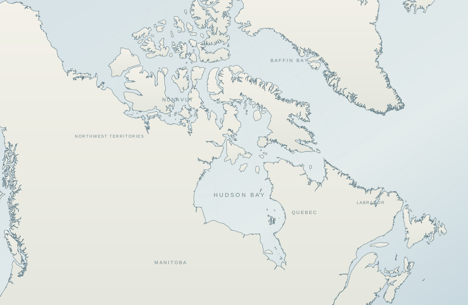
07/THE PRIORITY MINE PORTFOLIO
Nine priority mine sites.
Select a site for its evidence and proposed test. Map numbers follow the property list in the assessment.
APPROXIMATE LOCATIONS · NO PROPERTY BOUNDARIES SHOWN
Published hydraulic tests at Goose document groundwater conditions. A site-specific natural H₂ concentration remains unverified in the sources reviewed.
08/ADDITIONAL ASSESSED PROPERTIES
Eight additional properties.
The assessment covers eight further properties. Select a site to see its geological target and proposed first measurement.
APPROXIMATE LOCATIONS · NO PROPERTY BOUNDARIES SHOWN
Strange Lake mineral inclusions are a regional analogue. Crater Lake requires its own free-gas measurements.
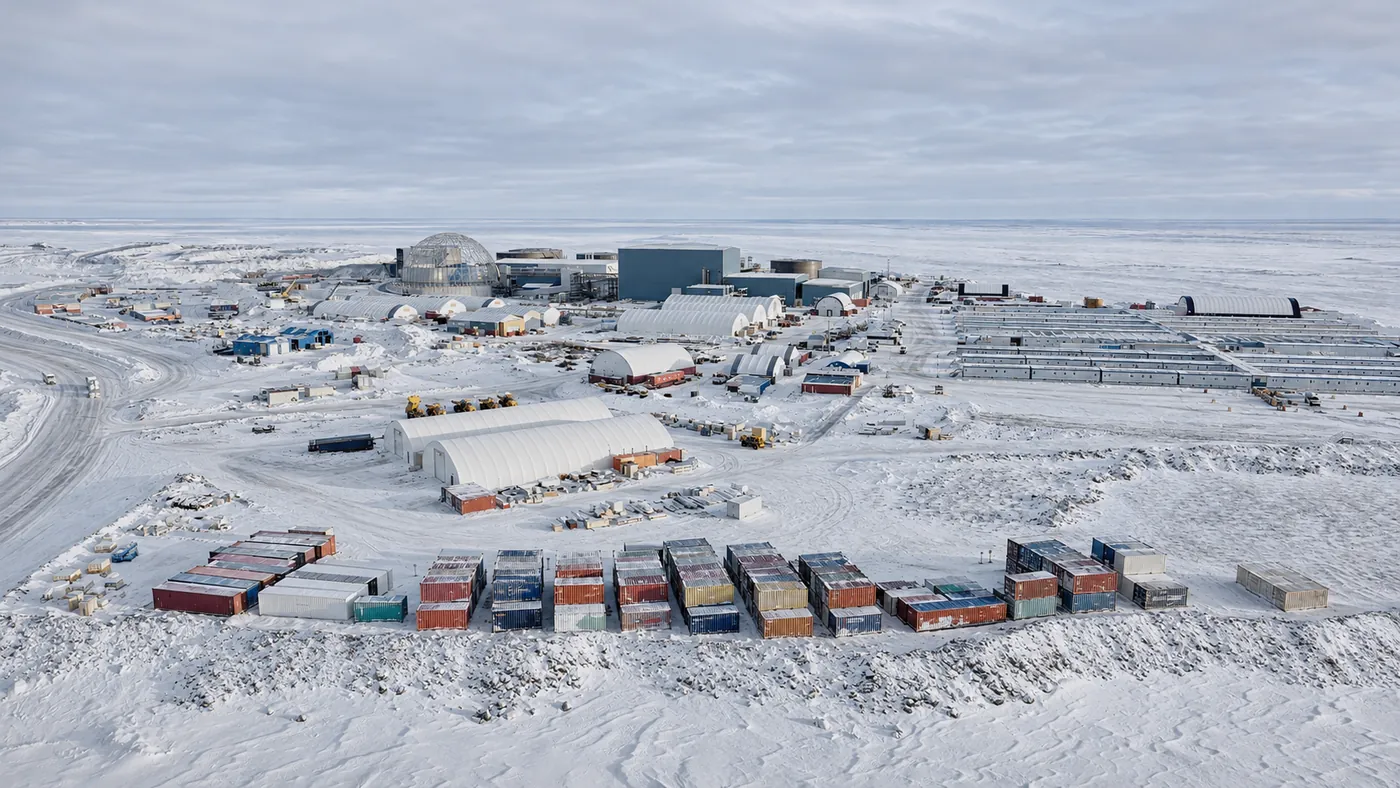
09/INITIAL SITE SELECTION
Criteria for the first field evaluation.
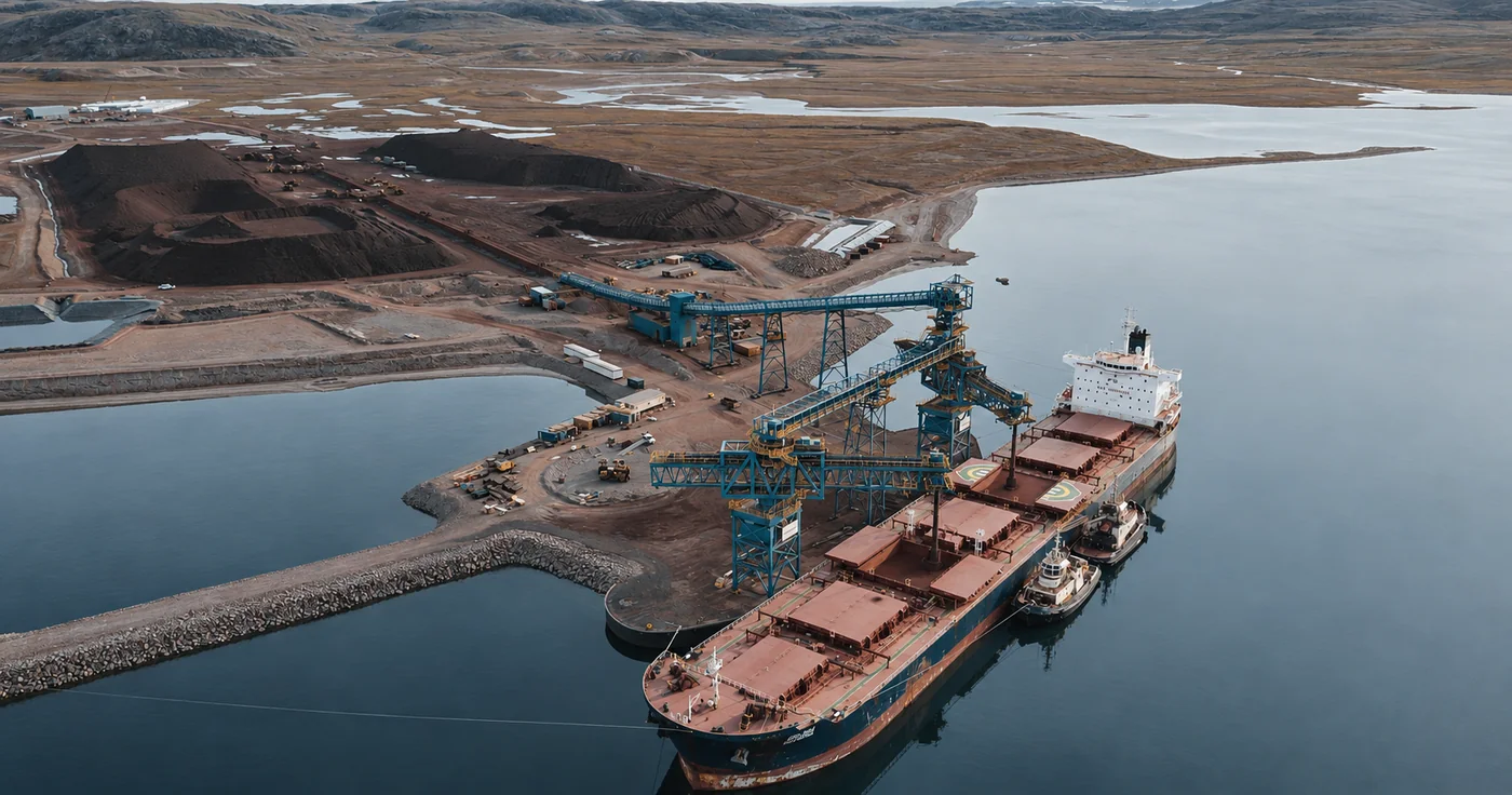
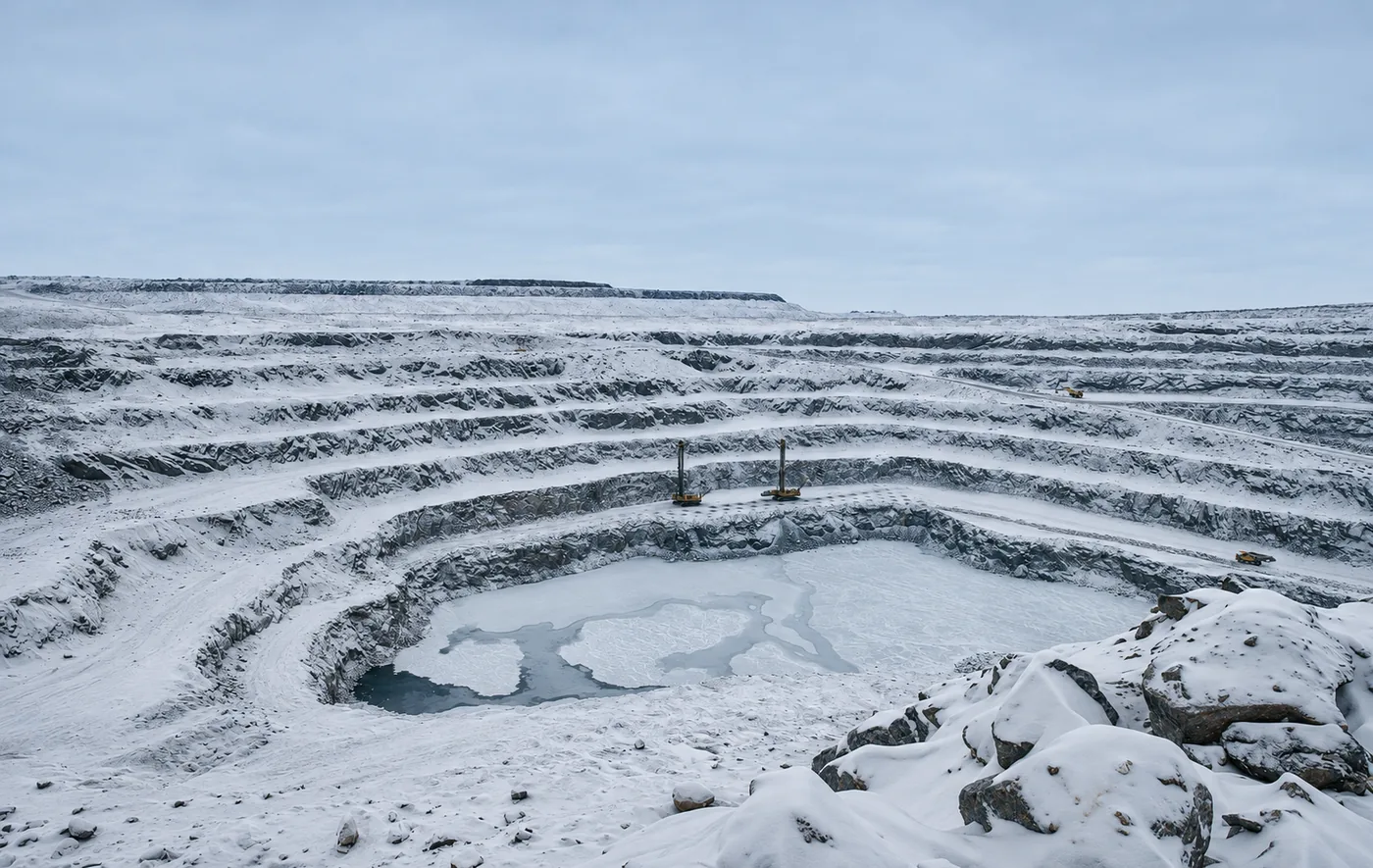
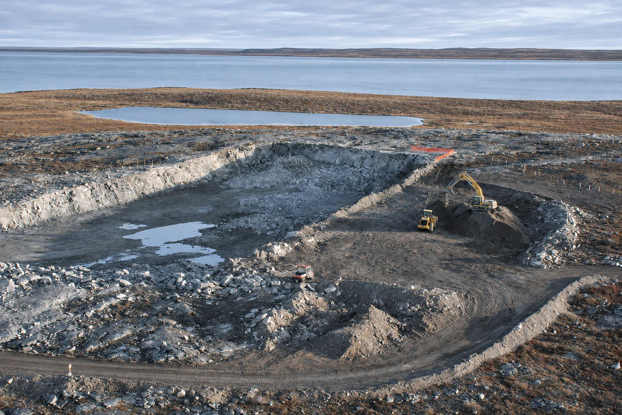
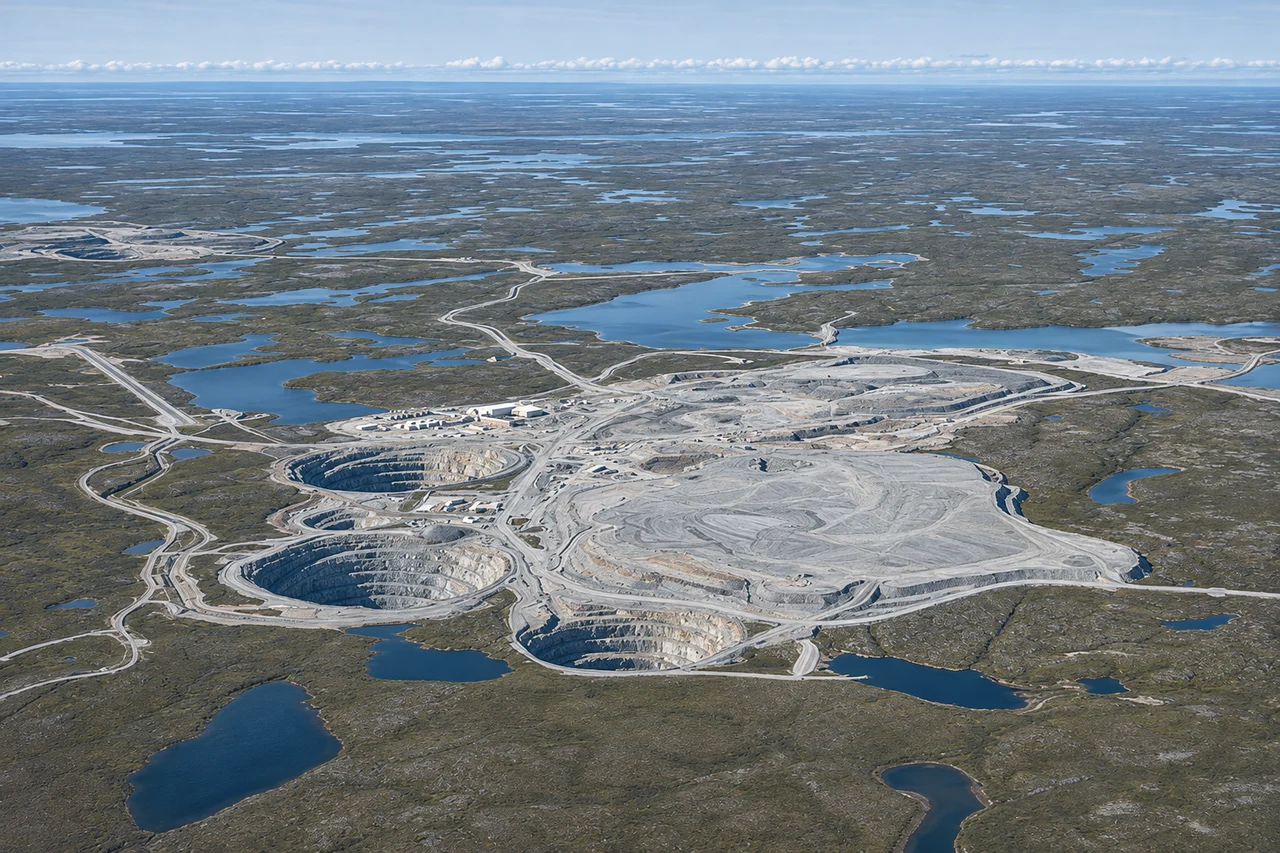
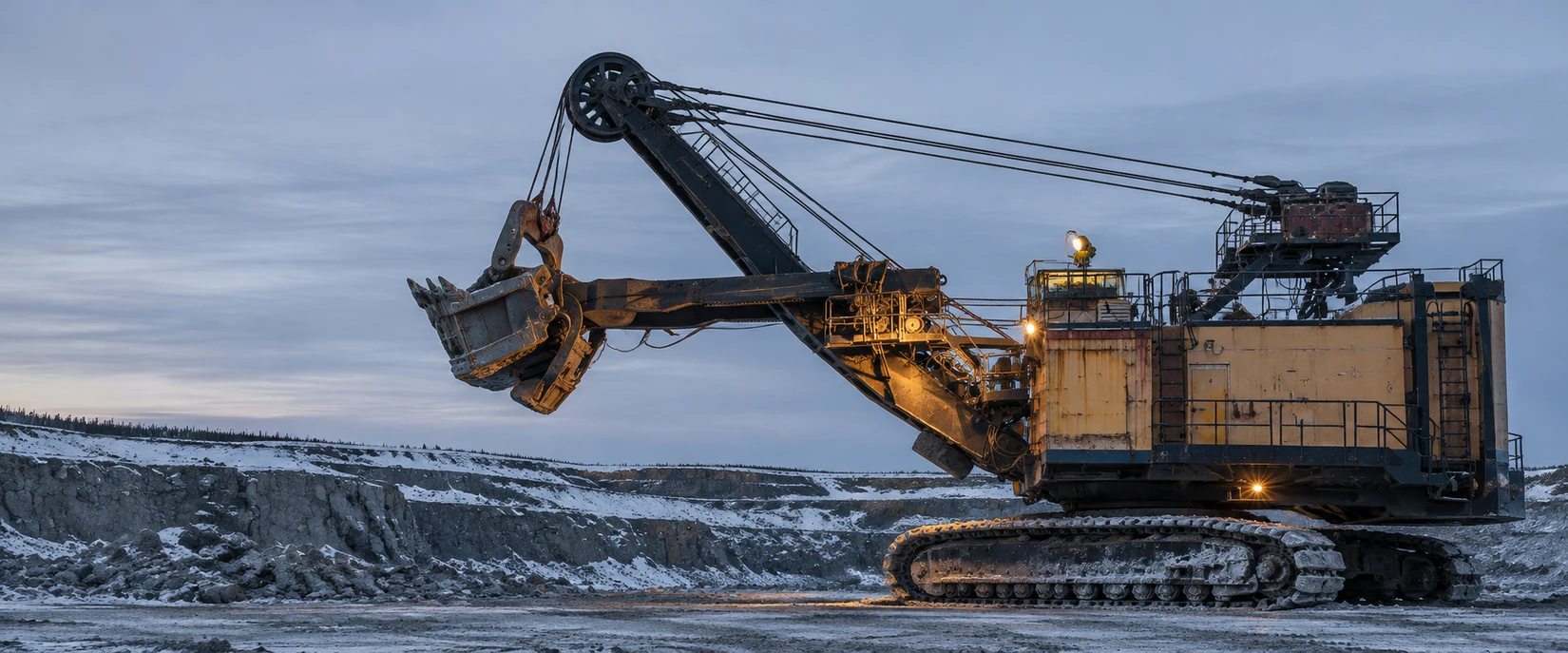
ILLUSTRATIVE OPEN-PIT MINE · ADAPTED FROM SUPPLIED PHOTO
01 / GEOLOGICAL MERIT
Geological evidence
Identify measured H₂ or a plausible generation mechanism. Specify the interval, uncertainty and measurement required.
02 / PROGRAM FEASIBILITY
Sampling access
Confirm the operator can provide records, access to the interval and site support for sampling.
03 / COMMERCIAL RELEVANCE
Mine energy demand
Define a mine load, its demand profile and its reliability requirements for comparison with any measured supply.
10/THE EVALUATION PROGRAM
A staged evaluation. A clear investment decision.
Three phases connect the mine’s existing records to field evidence and a practical recommendation for development.
PHASE I$50,000
Assessment
Review geological, borehole, gas and ventilation records alongside energy use. Identify priority targets and plan site measurements.
WHAT THE OPERATOR RECEIVES
Data Review & Measurement Plan
Prospective intervals, evidence gaps and recommended sampling locations.
PHASE II$150,000
Measurements
Measure hydrogen, gas composition and flow, with water sampling where appropriate. Assess preliminary energy and commercial potential.
WHAT THE OPERATOR RECEIVES
Gas Measurement & Interpretation Report
Results, energy screening and a proceed, hold or do-not-proceed recommendation.
PHASE III$50,000
Commercialization
Assess preliminary capture, production and integration requirements. Define a development pathway where the findings justify further work.
WHAT THE OPERATOR RECEIVES
Commercialization Recommendation
A preliminary capture and co-location concept, with recommended next steps.
11/PHASE I / PROPERTY CHARACTERIZATION
Property model and measurement plan.
Use property records to identify testable intervals, likely fluid sources and the measurements needed at each site.
I
01 / GEOLOGICAL MODEL
Locate the relevant intersections.
Reconcile lithology, reactive minerals and structure with core, logs and inflows. Calibrate geophysics against core and fluid observations.
02 / HYDROGEOLOGICAL CONTEXT
Separate natural fluids from disturbance.
Map salinity, fracture water, drilling water and dewatering routes. Identify mixing that could obscure a hydrogen signal.
03 / OPERATING REQUIREMENTS
Define the application under evaluation.
Review energy and fuel use, accessible holes and field constraints. Include existing gas-monitoring, ventilation and operational records.
THE DELIVERABLE01 / FIELD BASIS
Data Review & Measurement Plan
01
Conceptual property model
Sources, pathways, compartments and unresolved hypotheses.
02
Candidate sampling intervals
Include relevant exploration holes beyond active workings.
03
Controls & progression criteria
Specify the measurements that would justify further work.
DESKTOP ASSESSMENT
Physical sampling follows under a separately authorized field scope.
12/PHASE II / FLUID SAMPLING
Characterize the gas and its source water.
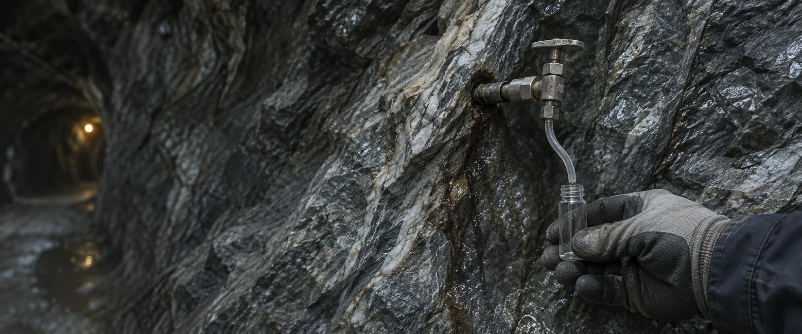
Pair gas composition and flow from an isolated interval. Collect associated water where accessible and within the agreed scope.
DEFINED INTERVALSCHEMATIC · NOT TO SCALE
Isolated fracture sampling
Limit mixing with sump water, introduced water and ventilation air.
GAS STREAM
Composition & discharge
Measure separated-gas flow and quantify H₂ from ppm to percent alongside CH₄, He, N₂, O₂ and CO₂. Report uncertainty and specify wet or dry gas.
CALIBRATED GAS CHROMATOGRAPHY
WATER STREAM
Fluid populations & mixing
Measure water discharge, salinity, chemistry and water isotopes. Preserve dissolved-gas samples appropriately and document storage history.
WATER CHEMISTRY + H / O ISOTOPES
COLLECTION CONTEXT
Interval · time · pressure · temperature · gas and water flow
ANALYTICAL CONTROL
Confirm the hydrogen reading.
Collect duplicates, field blanks, ambient air and service water. Repeat any H₂ reading above the blanks and have an independent laboratory confirm it before advancing.
13/DELIVERABILITY / RESOURCE BEHAVIOUR
Discharge and pressure response.
Deliverability combines hydrogen composition, discharge and pressure response under documented operating conditions.
ILLUSTRATIVE RESPONSE PATTERNS
Compare each pattern with pressure recovery and water chemistry measured over the same interval.
DECLINING DISCHARGE
What explains the decline?
Early flow can reflect drilling returns, gas released as pressure falls, or depletion of a connected fracture. Track pressure recovery and water chemistry to distinguish these effects.
PERSISTENT DISCHARGE
What sustains the flow?
Flow can persist as stored gas moves through fractures, as gas is replenished, or both. Test those explanations against pressure recovery, nearby borehole responses and mine dewatering.
01Composition
H₂ fraction and associated gases
02Mass rate
Gas flow, H₂ fraction and conditions
03Pressure
Decline, recovery and connectivity
04Water response
Discharge, chemistry and mixing
BASELINE FIRST
Measure natural flow before stimulation. Record interventions and monitor long enough to distinguish short-lived effects.
14/ENERGY CONVERSION
From hydrogen to usable electricity.
Evaluate potential diesel, fuel-cost and emissions reductions from local hydrogen, with supply matched to the mine’s electricity demand and reliability needs.
ILLUSTRATIVE ASSUMPTIONS
Assume 33 kWh/kg of hydrogen on a lower heating value basis. Net efficiency includes auxiliary loads.
NET ELECTRICITY / ANNUAL
1.19GWh
DIESEL EQUIVALENT kL339,429 L at 3.5 kWh/L
RECOVERED HYDROGENt
CHEMICAL ENERGYGWh
Eligible electrical demand
Realized displacement depends on eligible electrical demand, the timing of supply and mine reliability requirements.
ILLUSTRATIVE SCENARIO
Separate generation fuel from fleet and heating. Count shared Amaruq–Meadowbank complex fuel once. Assess capture, treatment, compression, water handling and integration costs separately.
15/PHASE THREE / DEVELOPMENT ASSESSMENT
Engineering basis for measured supply.
Size collection, treatment and conversion equipment for measured flow, gas quality and the load the mine can reliably serve.
01 / RESOURCE BASIS
Measured supply
Rate · composition · pressure
02 / GAS HANDLING
Capture & condition
Water · associated gases · specification
03 / CONVERSION
Useful output
Equipment · auxiliaries · variability
04 / MINE APPLICATION
Defined load
Demand · reliability · operating fit
I
Gas specification
Recoverable rate, composition, pressure, water production and variability determine collection and treatment requirements.
II
Mine integration
Address electrical supply, backup and interruption tolerance alongside ventilation, water management and routine operations.
III
Commercial case
Assess costs, eligible energy value and technical risk. Consider joint development, offtake or financed energy services as potential structures.
COMMERCIALIZATION RECOMMENDATIONAdvance/Further evaluation/Do not proceed
16/THE COMMERCIAL OPPORTUNITY
A local resource. An operating advantage.
A viable local energy resource can reduce diesel dependence, strengthen supply security and create lasting operating value. NorthLight’s evaluation determines whether the opportunity warrants development.
Reduce diesel exposure.
Target diesel generation with locally produced electricity. Match measured hydrogen supply to a defined mine load, establishing the scope to reduce fuel purchases and delivery requirements.
Strengthen energy security.
Diversify the mine’s energy sources and reduce dependence on long fuel-supply routes. Design local generation around continuity of operations, reserve capacity and backup power.
Build long-term value.
Translate a viable resource into operating value. Assess long-term energy costs and emissions benefits against the capital, operating and integration requirements of the complete system.
DEVELOPMENT OPTIONS FOR A VIABLE RESOURCE
A structure that fits the mine.
Select a development model that aligns capital, operating responsibilities and long-term energy supply with the mine’s priorities.
PARTNERSHIP
Joint development
Align NorthLight’s technical development expertise with the operator’s site knowledge and infrastructure through agreed investment, responsibilities and value sharing.
CAPITAL
Third-party financing
Bring external capital into a defined project structure, with financing tailored to resource performance, mine energy demand and the allocation of project risk.
DELIVERY
Energy-as-a-Service
Access energy through a service agreement, with a specialist provider developing and operating the system against agreed performance requirements.
PURCHASE
Offtake agreement
Establish a long-term customer through contracted purchases of hydrogen or electricity, creating a demand basis for project development and financing.
17/THE INITIAL COMMITMENT
Scope of the initial property evaluation.
Select one property, agree the evaluation scope and responsibilities, and begin with the mine’s existing records.
INITIAL REQUIREMENTS
Inputs for the desktop assessment.
Confirm records, property area, accessible intervals and site support.
Identify evidence gaps, sampling controls and retained-sample limitations.
Specify the mine energy use against which later results will be assessed.
PARTNERSHIP / NEXT STEPS
01
Select the property and execute the evaluation / co-development agreement.
02
Provide the agreed data package. NorthLight reviews records and develops the measurement plan.
03
Review the site-specific plan, then authorize targeted measurements under agreed site procedures.
04
Advance, investigate further or stop. Agree development terms if warranted.